blah blah blah
Mt. Willard
Length: 3.2 miles out-and-backDifficulty (click for info): Easy
Elevation Gain: 900 feet
Rating (click for info): 8/10
Elevation: 2865'
Prominence: 285'
Driving Directions:
Trailhead and parking area are located at the Crawford Depot on Rt. 302, in Carroll, NH (summit is in Bethlehem). The Crawford Depot is 8.5 miles south of Rt. 3 and just south of the AMC Highland Center. Click here for a Google map.
About the Hike:
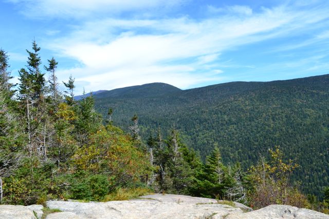
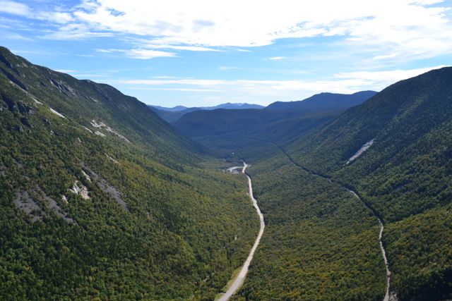
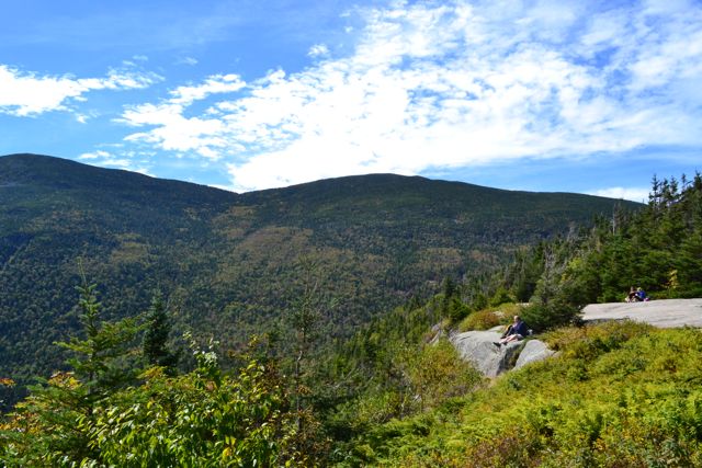
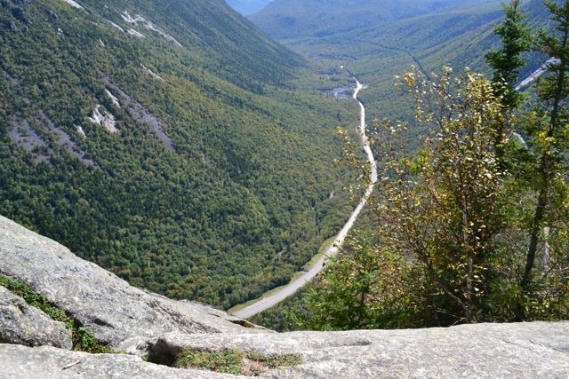
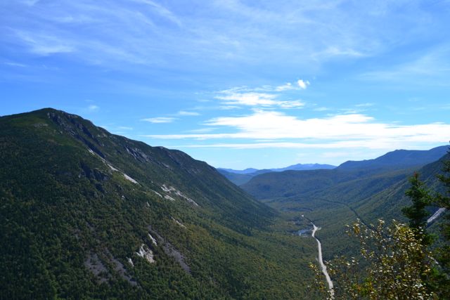
Although dwarfed by the high mountains all around it, Mt. Willard's enormous south cliff makes seem an impressive peak to travelers on Rt. 302. Mt. Field rises 1500 feet above it to the east while Mt. Webster looms 1100 feet over it to the west. But Mt. Willard's perfect position is what gives it such an incredible view. Its cliff-top summit yields a view looking straight through the southern part of Crawford Notch that the higher peaks can only see far below.
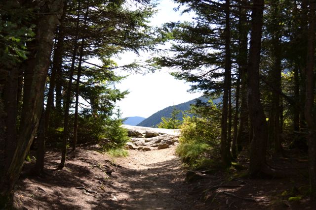
The trail starts at the Crawford Depot. Cross the railroad tracks behind the building and head out on the Avalon Trail. In 0.1 miles, turn left onto Mt. Willard Trail. It meanders easily through the woods and soon meets a stream. It gradually climbs upward while following the stream for 0.4 miles. It then passes a small waterfall with a pool below it, called Centennial Pool. You can walk down to the pool to see the waterfall. The trail then turns away from the stream and becomes steeper and rockier. It continues straight upward for 0.7 miles until the cliff top comes into view. The view from the ledge is stunning. The notch stretches out far below you as a long half-cylinder bisected by Rt. 302 with the cliffs of Mt. Webster on the left side and the slopes of the Willey Range, crossed by the Conway Scenic Railroad, on the right side.
Printable directions page