


blah blah blah
Mt. Jasper
Length: 1.4 miles out-and-backDifficulty (click for info): Easy
Elevation Gain: 520 feet (+40 feet on return)
Rating (click for info): 6/10
Elevation: 1597'
Prominence: 128'
Driving Directions:
Trailhead and parking area are at the Berlin High School in Berlin, NH. To get there, drive into Berlin on Rt. 16 and turn onto Rt. 110 west. About 0.4 miles from the junction, take a right onto Hillside Ave, crossing over the railroad tracks. Drive 0.2 miles into the gridded city streets and take the third left onto Madison Ave. Drive 0.6 miles, then bear left on a strange clockwise one-way loop around the school parking lot. At the far end of the loop, bear left into the parking lot overlooking the recreational fields. Click here for a Google map.
About the Hike:
The residents of Great North Woods city Berlin have their own private birds-eye lookout of their home from the clifftop viewpoint on Mt. Jasper. The open ledges atop the little peak open up stellar views over the Androscoggin River Valley with the city and the surrounding mountains towering far above. The towering, 400-foot cliffs are a prominent sight from most places in the city, vying with nearby Mt. Forist for the most impressive and attention-grabbing mountain, despite their relatively low elevation. Mt. Forist lacks any hiking trails due to housing an extensive wind farm, but fortunately Mt. Jasper is welcoming to visitors, with a short, well-constructed and cared for trail leading to its open ledges from the Berlin High School.
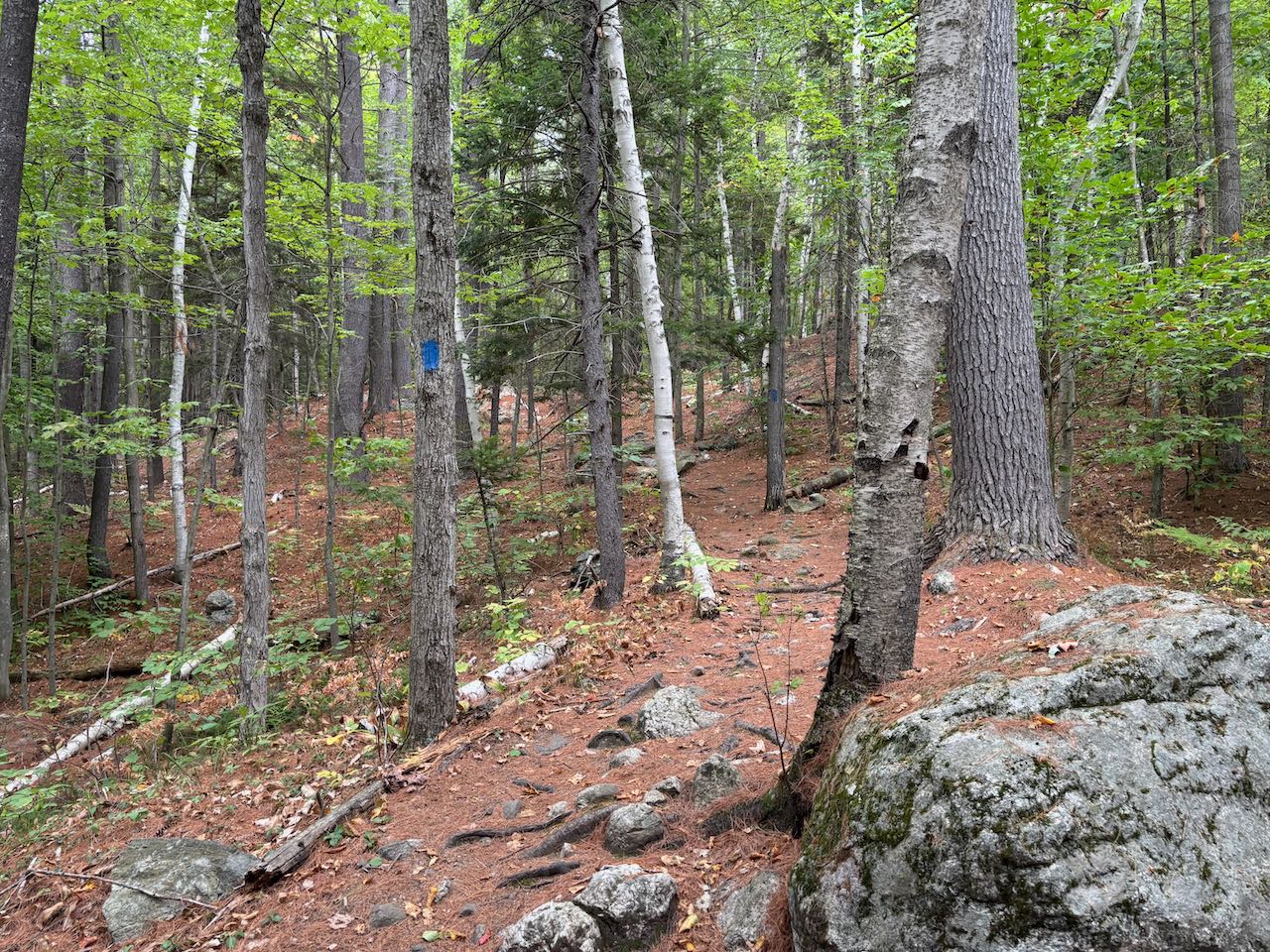
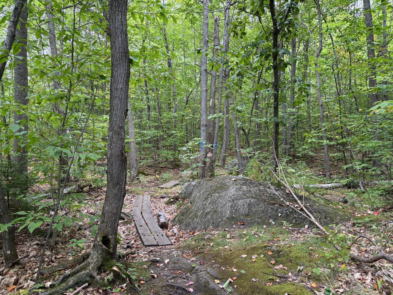
From the trail fork at the end of the parking area, stay to the right side of the shed, passing the gate, and you'll soon come to the kiosk marking the start of the Mt. Jasper Trail. Turn right up the steps and begin climbing through a rocky forest, following the frequent blue blazes. The trail ascends moderately amidst stands of birch trees and swings around to the left to climb across the hillside in the direction of the peak. At 0.3 miles, proceed straight across a snowmobile trail and a more overgrown path right after. It heads across the hillside, climbs up to another old road through the woods and bears left, then quickly right to climb a steep section with a wooden staircase built into the ground. In 0.1 miles, turn left to stay on the trail as it intersects yet another woods road. The climbing gets much easier at this point as the trail begins to level off and proceeds through a pleasant area with some mossy rock ledges. In 0.2 miles, you'll intersect the yellow blazed Cates Hill Trail coming in from the right, although there is no sign marking it. The trail climbs to the summit of the mountain for the last 0.1 miles up a grassy straightaway, passes a little opening in the trees overlooking the city, and then emerges on the wide open rocks of the summit.
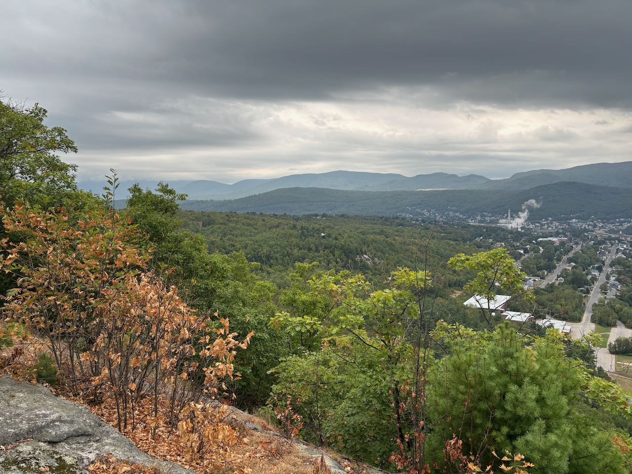
As you come out into the open, the first thing you'll notice is the short, round summit of Jericho Mountain, ringed with huge wind turbines and access roads. Behind, a little more distant, you can see the many summits of Mt. Weeks and Terrace Mountain. Straight across the valley below, where you overlook a wide, marshy section of the Dead River alongside Rt. 110, is the steep-walled Mt. Forist, with a small section of the cliffs visible. To the left of Forist, around the corner of the river valley over the tightly packed houses of the city, you have a good view to the Carter Range, where you see Wildcat Mountain, the Carter peaks to the left across a sharp notch, and Mt. Moriah further over to the left. Further over, the railroad tracks point at wide Cascade Mountain in the Mahoosuc Range, sprawling across the view from the west side of the city to the east side. All the way to the left, you can see further up the Mahoosuc Range across The Trident to Bald Cap Peak and Mt. Success furthest over. The view from this point is excellent, but you can continue down to another viewpoint that is even more open. Walk straight over the summit and follow a beaten path down briefly through the woods and to the right out to an airy rock precipice. Use caution approaching it as the edge of the cliff comes up quickly. This spot provides a much more open view down over the valley, including a great view of the Dead River as it winds through the marsh alongside Rt. 110. You also have an improved view to the north, where you can now see much more of the Pilot Range, ranging from Mt. Cabot across the Bulge and Horn, Unknown Pond Ridge, Deer Mountain, Rogers Ledge, and Square Mountain.
Printable directions page