

blah blah blah
Gordon Falls
Length: 6.2 miles out-and-backDifficulty (click for info): Moderate
Elevation Gain: 1340 feet (+60 feet on return)
Rating (click for info): 6/10
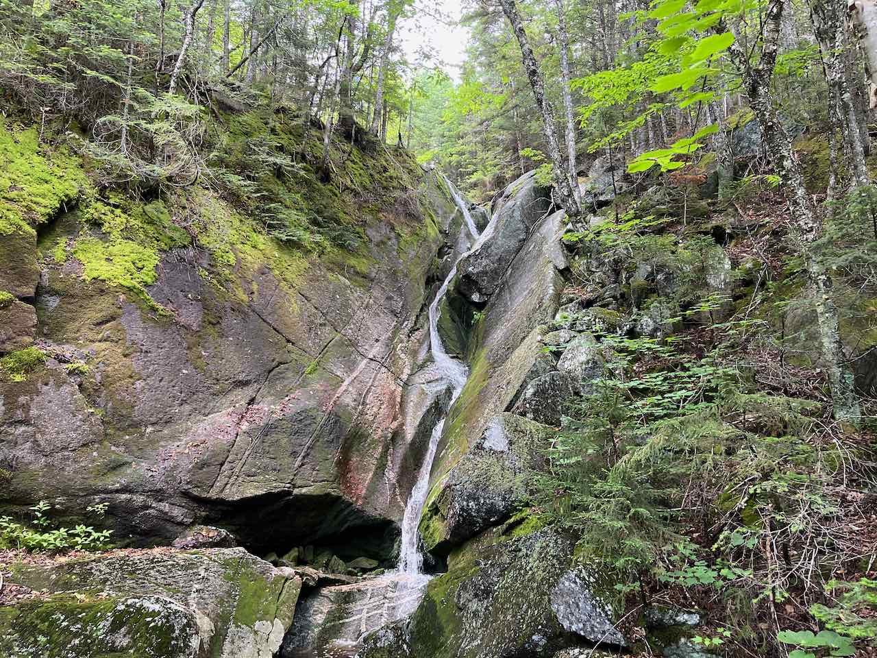
Height: 35'
Source: Gordon Pond Brook (south branch)
Driving Directions:
Due to restricted parking at the official trailhead for the Gordon Pond Trail, the best location to access the trail is actually part way up it where the trail skirts around a residential area. From Rt. 112, one mile west of the traffic light at Rt. 3 in Woodstock and 1.6 miles east of the junction with Rt. 118, turn northwest onto Sundance Road. Drive uphill for 0.6 miles to the end of the road at a cul-de-sac and park on the opposite side from the houses along the side of the road. Click here for a Google map.
About the Hike:
The second and less known waterfall of the same name in the White Mountains, the Gordon Falls in Woodstock is a bit of a challenge to find. With other more notable waterfalls like the Lost River and the Beaver Brook Cascades in the area, Gordon Falls is far less frequented despite being a fairly impressive waterfall in the right season. There have been longstanding issues with parking and access at the official trailhead, which despite being legally accessible to hikers is marked with no trespassing signs. Fortunately, the trail is easier found from a point partway up where local residents have a common access point. On top of that, navigation can be a bit challenging to find the route of the official trail through a network of snowmobile trails. When you get to the waterfall itself, you'll need to make your way down through the woods to the bottom to get a good view of it. But if you're willing to get past some of these navigational challenges, Gordon Falls has a unique attraction. A graceful flow of water slides down over smooth, curving rock, forming a steep gorge with lush mossy decorations all around. Catch it at the right time of year when stream flow is high and you'll witness quite a photogenic sight.
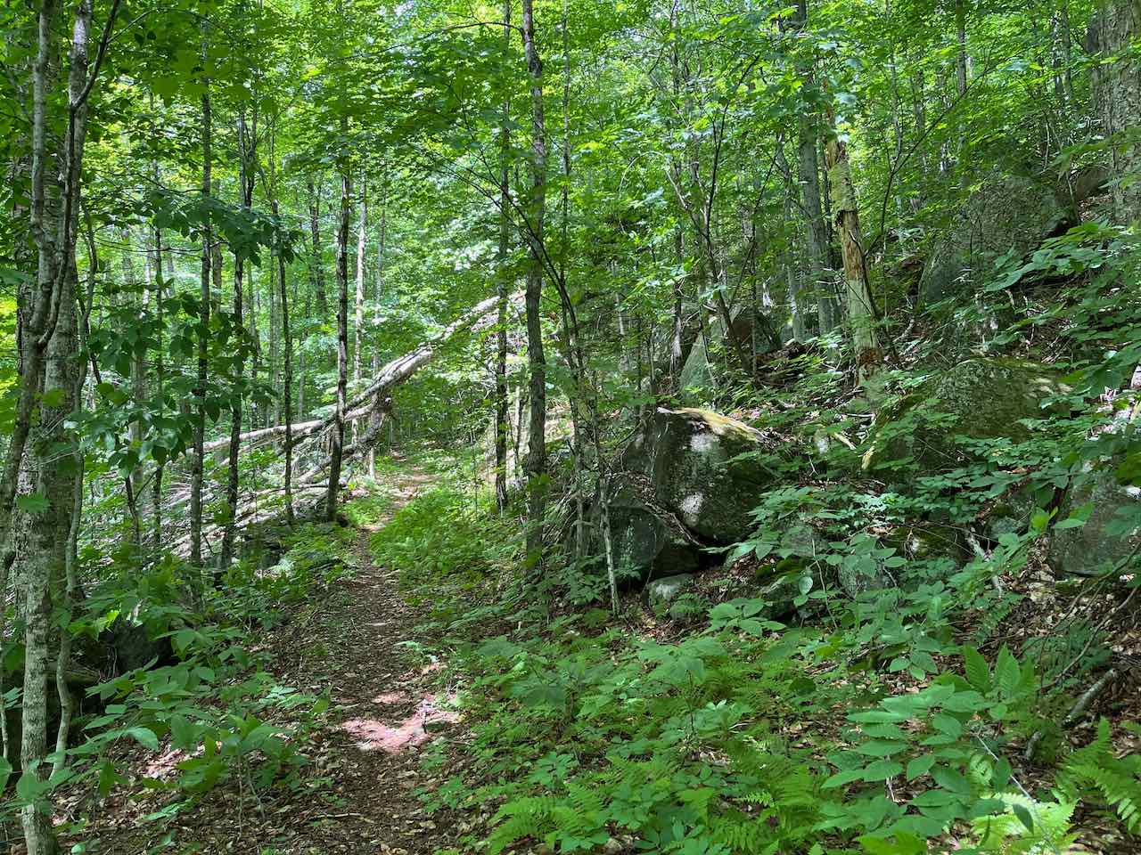
From your parking spot on Sundance Road, head downhill from the cul-de-sac and look for a wide and flat pathway leading into the woods on the left side, across from the trail into the powerline clearing. Follow this path for 0.2 miles into the woods, through a hollowed-out area remaining from its days as a railroad track, to reach a junction with the official Gordon Pond Trail, which comes in from the left. Stay straight on the trail for 0.3 miles and then bear left as a woods road and snowmobile trail enter from the right, coming from the North Woodstock Reservoir, which is fed in part by Gordon Pond Brook and its tributary where Gordon Falls is. The wide trail wanders gently uphill through the woods for the next half mile; it then becomes stonier underfoot and approaches the bank of Gordon Pond Brook right where Boles Brook converges with it. It parallels the brook for 0.15 miles and then comes out into the powerline clearing. Take care to discern where the trail leads through the brush to the other side; it crosses generally straight across, while the snowmobile trail diverges and leads to the right down the clearing.
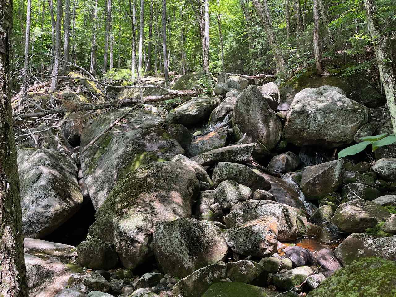
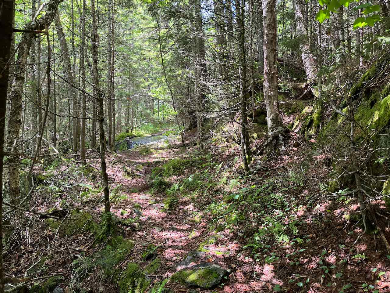
Now on a narrower footpath through the hobblebush, the trail remains level for 0.2 miles and then crosses Gordon Pond Brook in a bouldery area. The trail heads straight across the hillside, climbing gently through the lower slopes of Mt. Wolf for the next 0.6 miles. The trail dips down into a hollow to cross two small streams, then continues deeper into the forest toward the Kinsman Ridge. It remains at very easy grades, climbing around the end of a ridge with steeper slopes and some impressively sized trees. After another 0.6 miles, it crosses back to the other side of Gordon Pond Brook in a very rocky area, where you step across some ledgy small cascades. On the other side, the trail heads uphill at a more brisk pace, soon transitioning into darker hemlock forest. After 0.4 miles, you'll reach the southerly branch of the brook at the top of Gordon Falls. The main trail continues up to the Kinsman Ridge beyond here, crossing the brook on a mossy ledge. From this point it is another 0.8 miles up to Gordon Pond; navigation on this section of the trail can be more challenging as it receives very little use. Take a look downstream to see the brook tumble over the mossy ledge slab into the vertical gorge. You can see down to the bottom of the falls, but the shape of the rock blocks view of the water in motion. To see the whole falls, take a few steps back down the trail and work your way through the woods down to the base. There is plenty of room to view the narrow back-and-forth weave of this uniquely-shaped waterfall on its way down the gorge.
Printable directions page