
blah blah blah
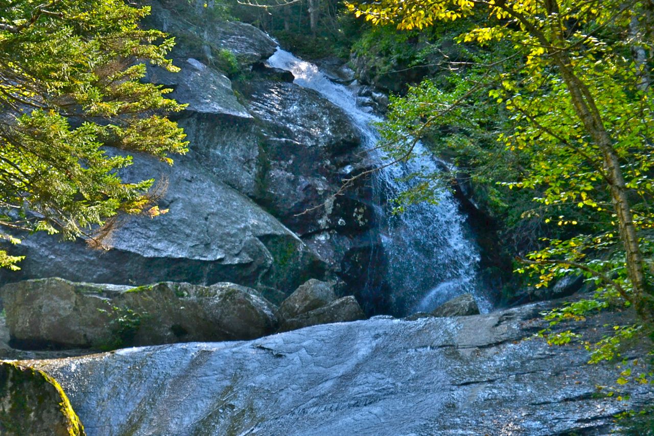
Bridal Veil Falls
Length: 5.0 miles out-and-backDifficulty (click for info): Easy
Elevation Gain: 1090 feet (+0 feet on return)
Rating (click for info): 6/10
Height: 76'
Source: Coppermine Brook
Driving Directions:
Trailhead and parking area are on Coppermine Road in Franconia, NH. Coppermine Road is located on the west side of Rt. 116, 3.4 miles south of Rt. 118 and 7.7 miles north of Rt. 112. Park at the parking area at the beginning of the road. Click here for a Google map.
About the Hike:
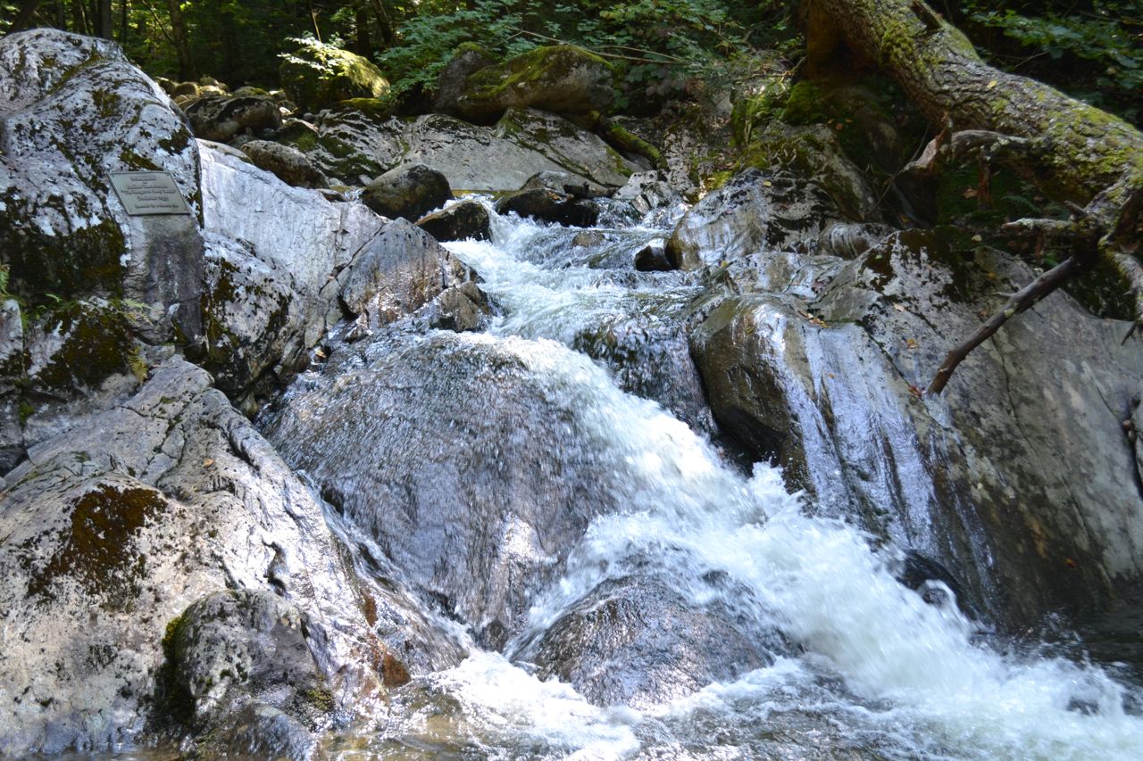
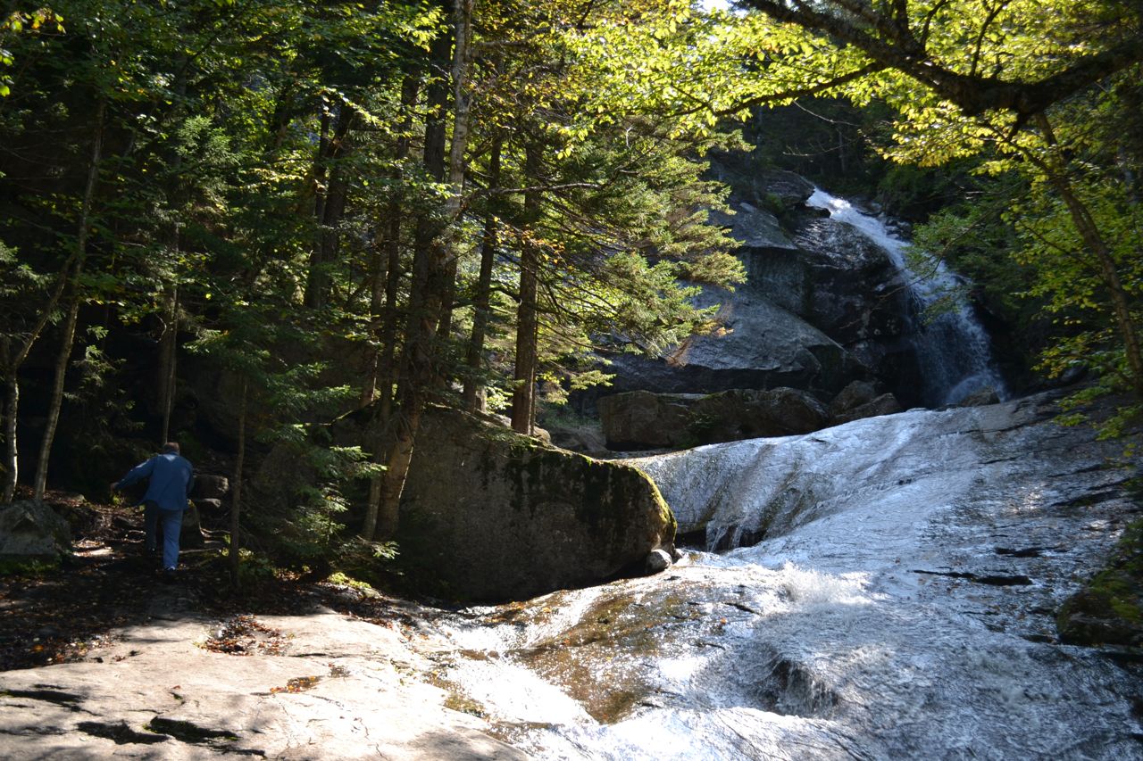
Bridal Veil Falls is one of the most photographed waterfalls in the White Mountains. Although not imposing in stature, Bridal Veil Falls is distinct for the shape that gave it its name. It is reached by a moderately long walk with easy grades and fine scenery. The trail follows the dirt road where you parked in the beginning, but turns left into the woods at a sign after half a mile. After another half mile, the trail joins Coppermine Brook, which flows from the waterfall. Just after this, bear right to stay on the trail where a cross-country ski trail goes left. It climbs upward at an easy but steady grade for a mile and a quarter. There are many herd paths which lead from the trail to small cascades or peaceful places on the brook. 0.2 miles before the waterfall, the trail crosses the brook on a bridge, and continues up the other side, passing a shelter on the way.
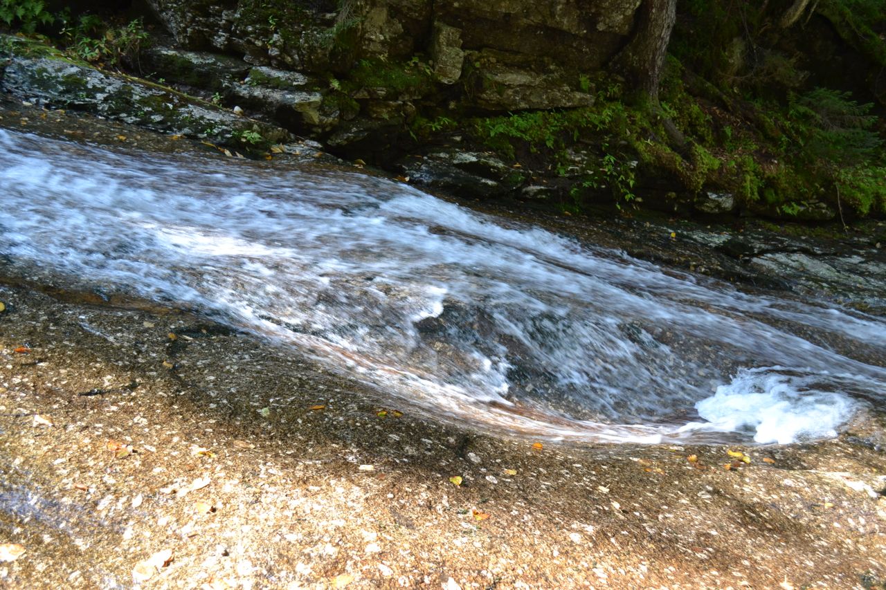
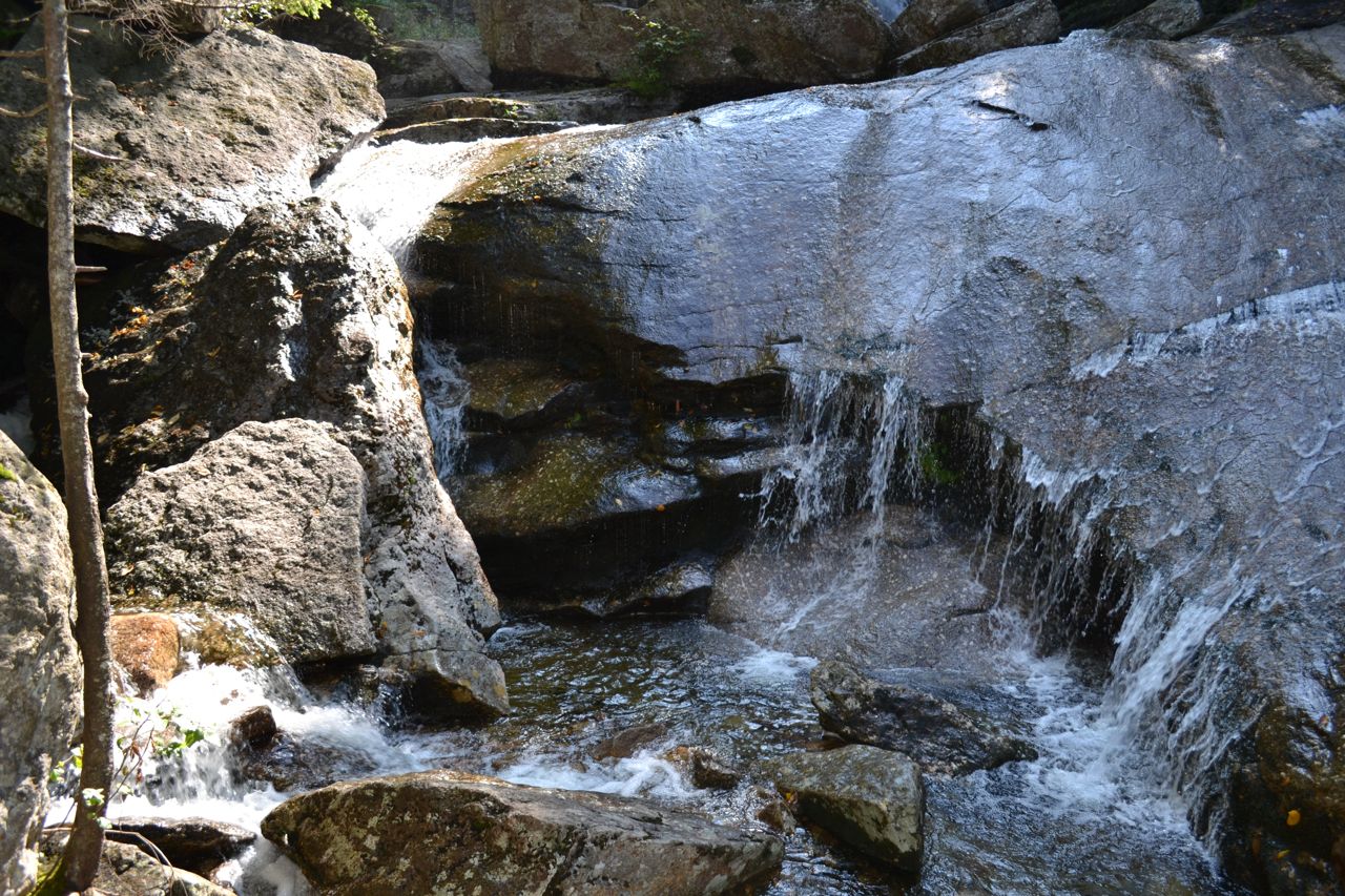
The trail ends on a large 'island' in the middle of the brook. From here, you can sit on the rocks and view the waterfall, or you can step across the stream and climb up the flat rocks to get closer. Unlike most waterfalls, Bridal Veil Falls is best seen from the side. The iconic shape is set back, several feet above you; a long water slide connects the brook at the end of the trail with the waterfall.
Printable directions page